Frederick William Beers (August 17, 1839 – September 8, 1933) was an American surveyor, cartographer, and map publisher best known for his extensive work documenting New York State during the late nineteenth century. Born in Maryland, he was the son of prominent map publisher James Botsford Beers (1811–1901), but spent much of his career in New York, where he served as Chief of the Map Division and later as Commissioner of Public Records for Brooklyn.
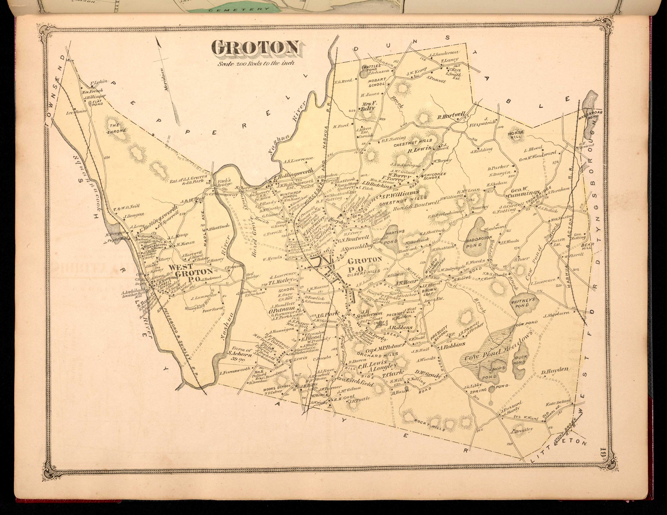
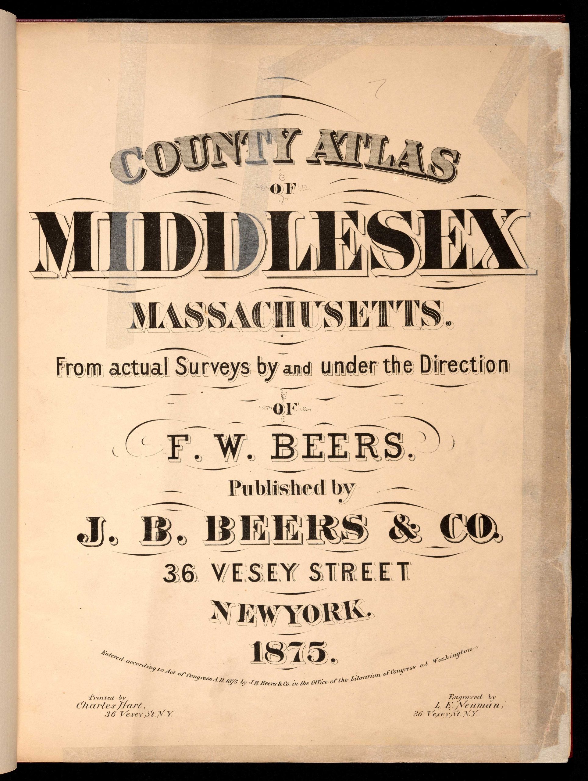
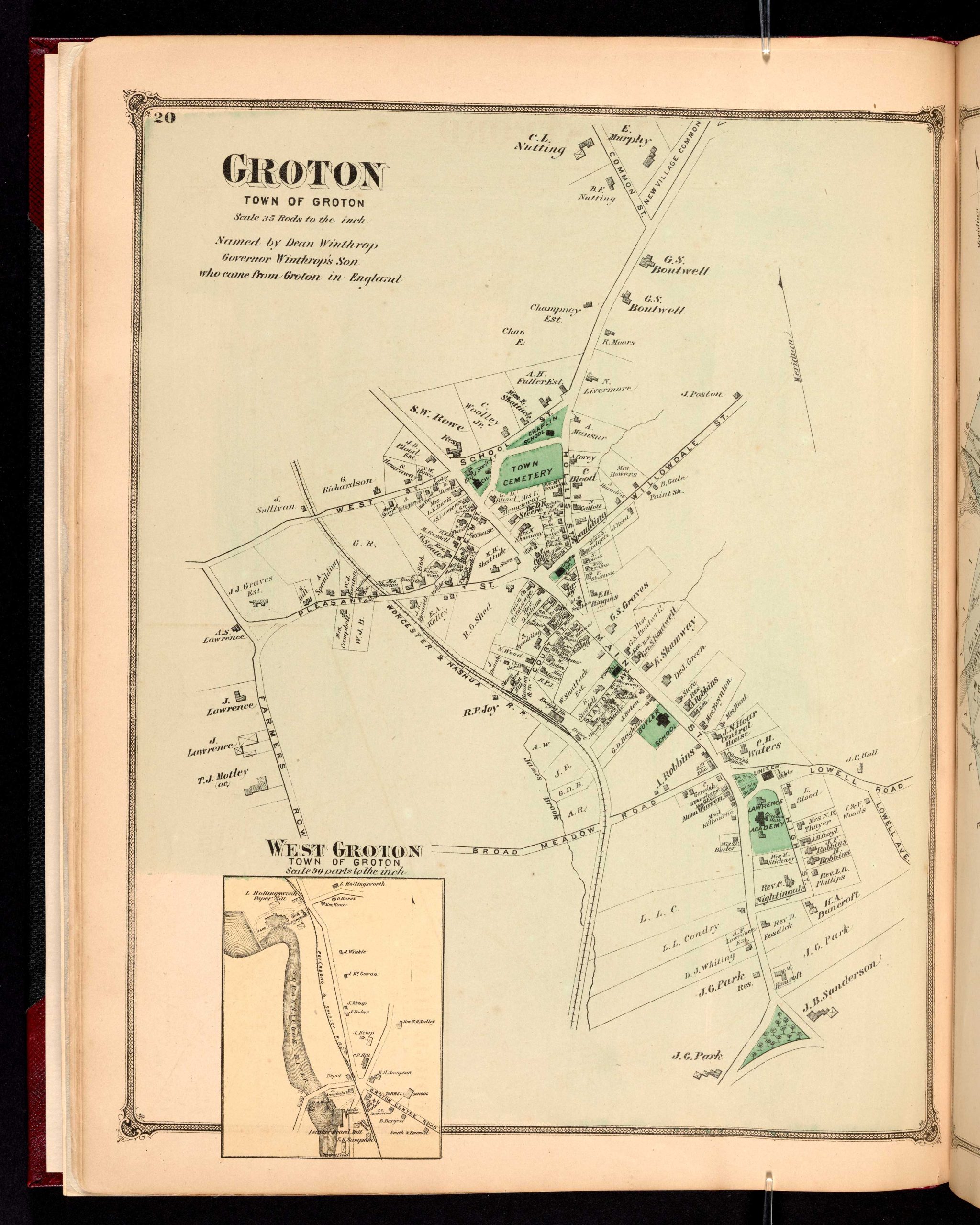
Beers joined the family publishing firm around 1870 and, with his father, produced such notable works as the Farm Line Atlas of the County of Kings and the Atlas of Long Island. He is credited with surveying and mapping every county in New York State, establishing himself as one of the era’s most prolific regional cartographers. Mapmaking was a family enterprise, and Frederick worked closely with his father, his brother Charles Henry Beers (1813–1892), and his cousins Silas Norman Beers (1837–1873) and Daniel Glover Beers (1841–1913), all of whom were active in the family’s publishing business. He remained professionally active into his nineties, retiring from publishing in 1930. Beers died in Bridgeport, Connecticut, on September 8, 1933.