Henry Francis Walling (June 11, 1825 – April 8, 1889) was one of the leading American surveyors, cartographers, and map publishers of the mid-nineteenth century. Born in Providence, Rhode Island, he studied and worked at the Providence Athenaeum before pursuing civil engineering and surveying. In 1846, he joined Providence engineer Samuel Barrett Cushing, assisting in the revision of James Stevens’s Topographical Map of the State of Rhode Island. By about 1850, Walling had established his own practice and began publishing a series of detailed town maps in Rhode Island.
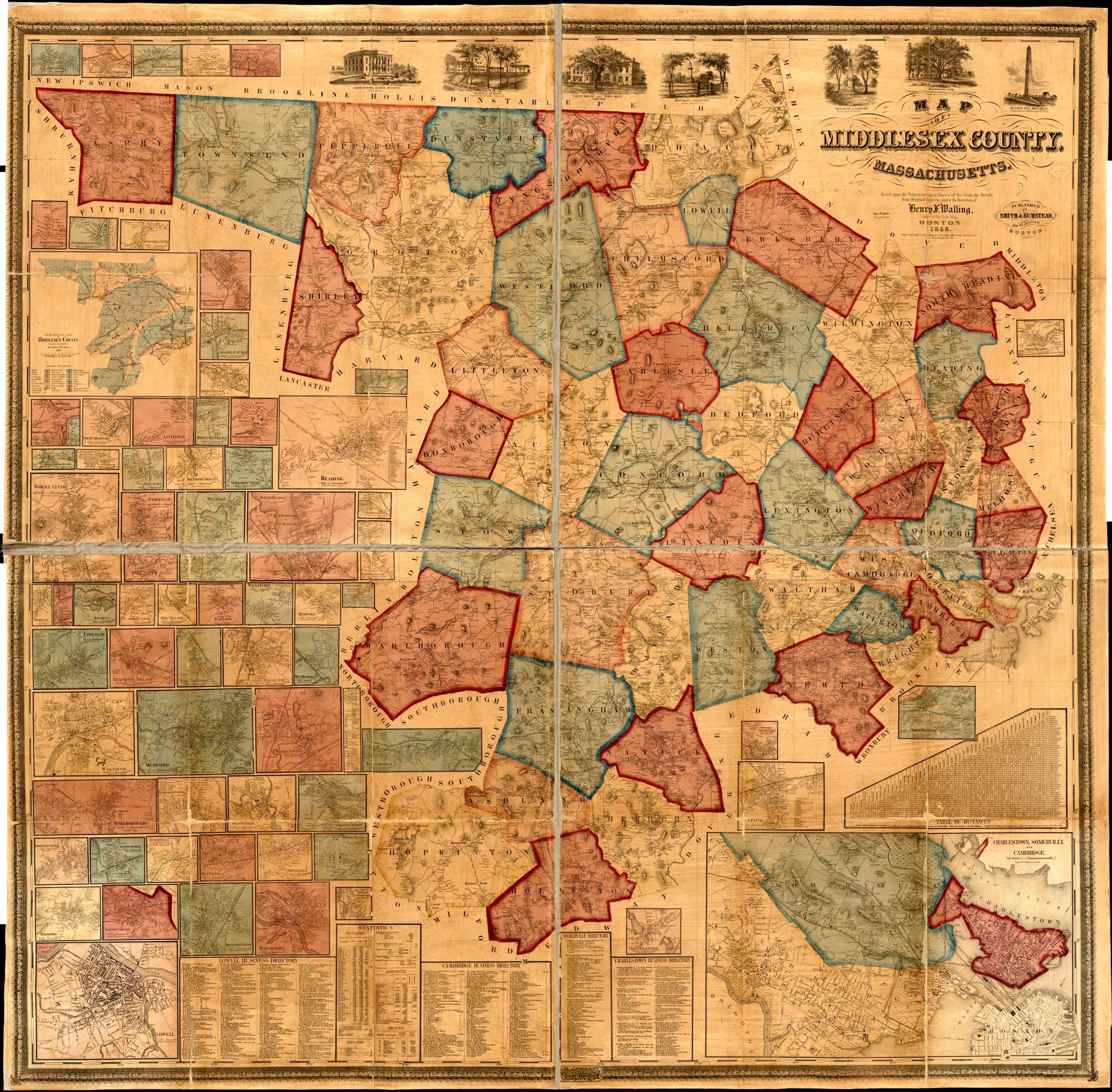
The success of these surveys led Walling to expand into Massachusetts, where he produced more than fifty town plans by 1857. His business typically involved contracting with municipalities to prepare official maps while retaining the rights to publish and market additional editions. This work earned him the title of Massachusetts Superintendent of the State Map, a designation that appeared on his publications beginning around 1855. Although best known for his meticulously surveyed town and county maps, Walling also issued important state maps of Maine, Vermont, and Rhode Island.
Seeking access to New York City’s superior lithographic firms, Walling relocated there in 1856. Declining demand during the Civil War prompted him to partner with Ormando W. Gray, with whom he published a series of influential county, state, and national atlases throughout the 1860s and 1870s. Around 1880, Walling entered federal service with the U.S. Coast Survey before transferring in 1883 to the newly established U.S. Geological Survey. He remained with the Survey until his death from a heart attack in 1889, leaving behind one of the most significant bodies of American cartographic work produced during the nineteenth century.