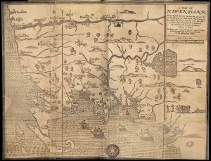
To create a more accurate map of Massachusetts, the state legislature passed Resolves 1829, Chapter 50, requiring every town—and the City of Boston—to submit a detailed plan based on a survey completed within the previous five years. Drawn at a scale of one hundred rods to the inch, each plan was to identify rivers and waterways, public and private roads, places of worship, courthouses and other public buildings, bridges, ferries, ponds, harbors, islands, mountains, hills, mills, factories, mines, iron works, meadows, woodlands, and other significant natural and man-made features. The plans also recorded the distance from each town center to both the county shire town and Boston.
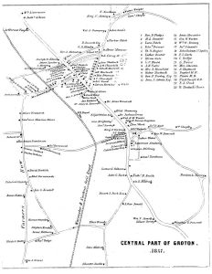
Note that Groton was the subject of two versions of this map, both drawn by Caleb Butler. See the “Mapping Groton, 1828-1832” article on this website.