

05 Jun 1677 Hubbard
Posted at 16:26h
in
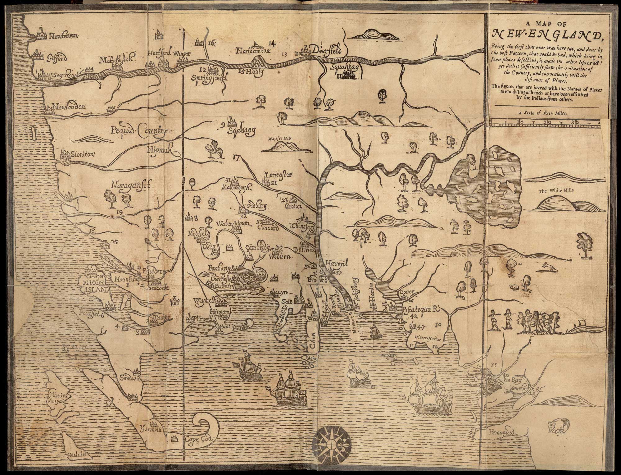
A Map of New EnglandWoodcut31 cm x 39 cm[Boston: printed by John Foster, 1677]Originally published in William Hubbard's The Present State of New-England."Wine Hills" version.Note that there were two versions of this map, one created shortly after the other, both oriented with north at the...