

Archive

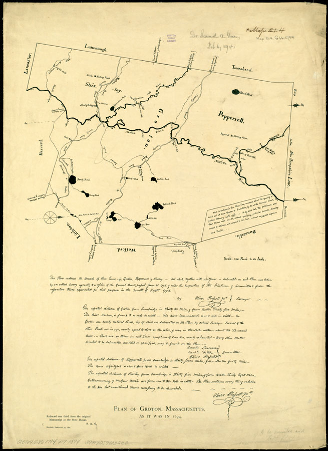
Plan of Groton, Pepperell and Shirley, made by Oliver Prescott, Jr., dated September, 1794. For the compilation of a state map, each town in Massachusetts (including those in the five eastern counties now part of Maine) was required by Resolves 1794, May Sess, c 101 (June...
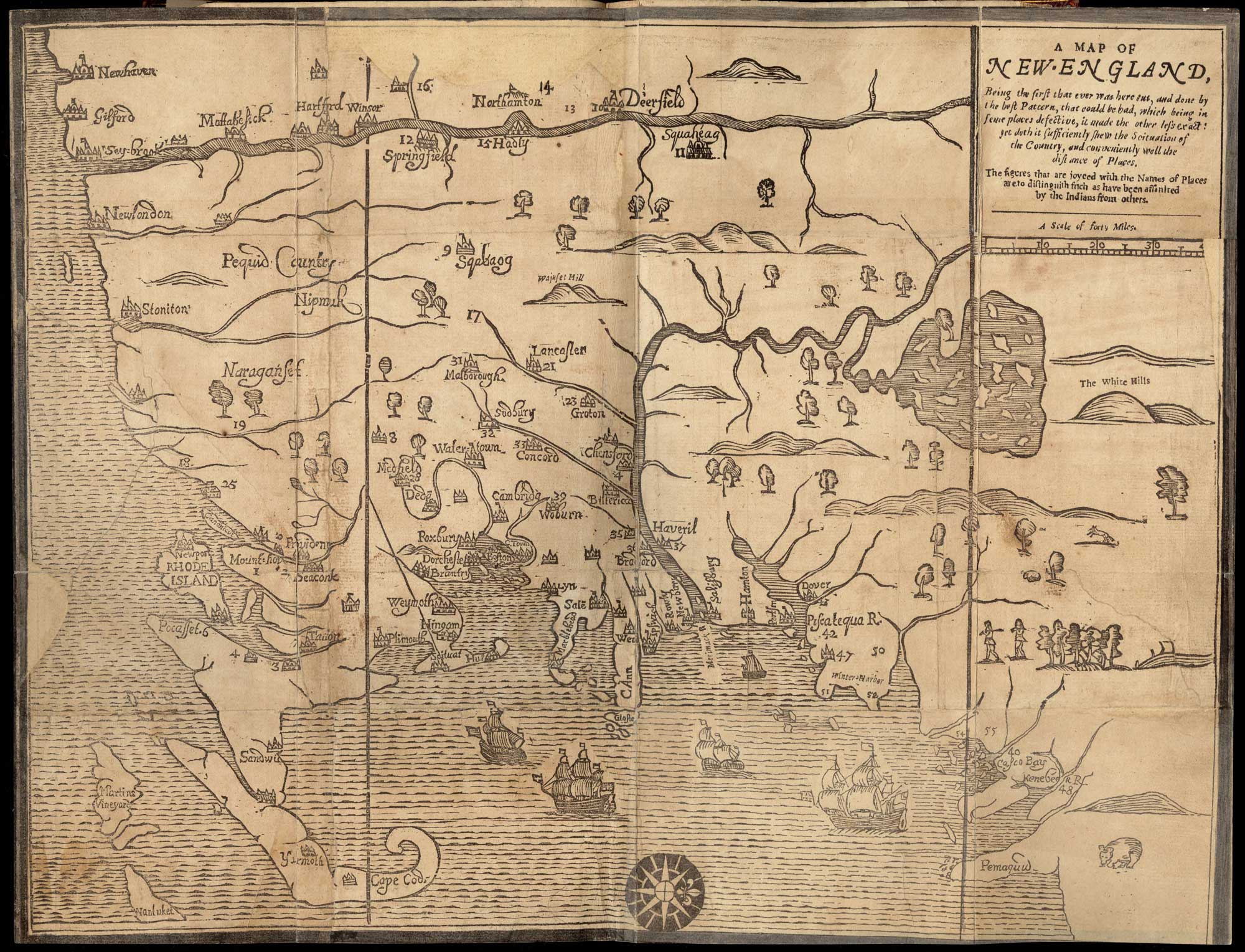
A Map of New EnglandWoodcut31 cm x 39 cm[Boston: printed by John Foster, 1677]Originally published in William Hubbard's The Present State of New-England."Wine Hills" version.This early map of New England, probably by John Foster, was published in The Present State of New-England by William Hubbard...

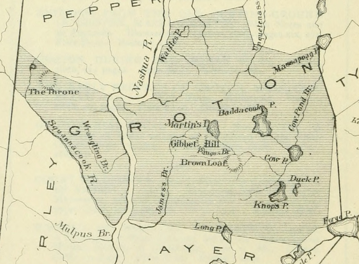
#gallery-1 { margin: auto; } #gallery-1 .gallery-item { float: left; margin-top: 10px; text-align: center; width: 33%; } #gallery-1 img { border: 2px solid #cfcfcf; } #gallery-1 .gallery-caption { margin-left: 0; } /* see gallery_shortcode() in wp-includes/media.php */ 1668 Danforth plan (Re-drawn in 1826 by Caleb Butler, and in 1885 by Dr. Samuel Green)Map Notes(From pages 10-11 of Dr. Peter Green's "The...