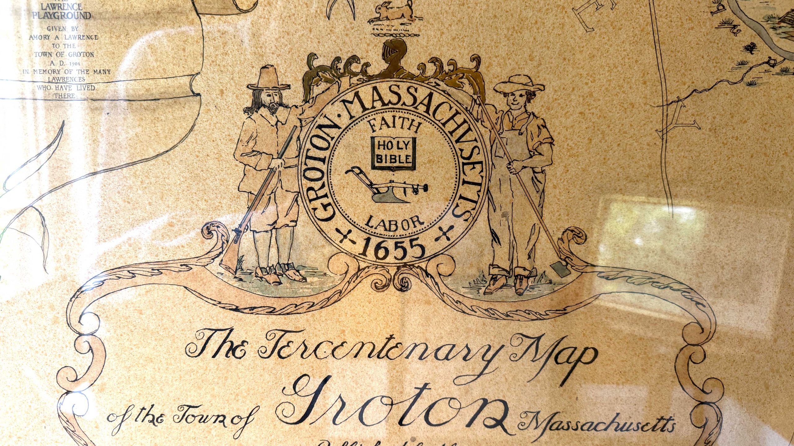
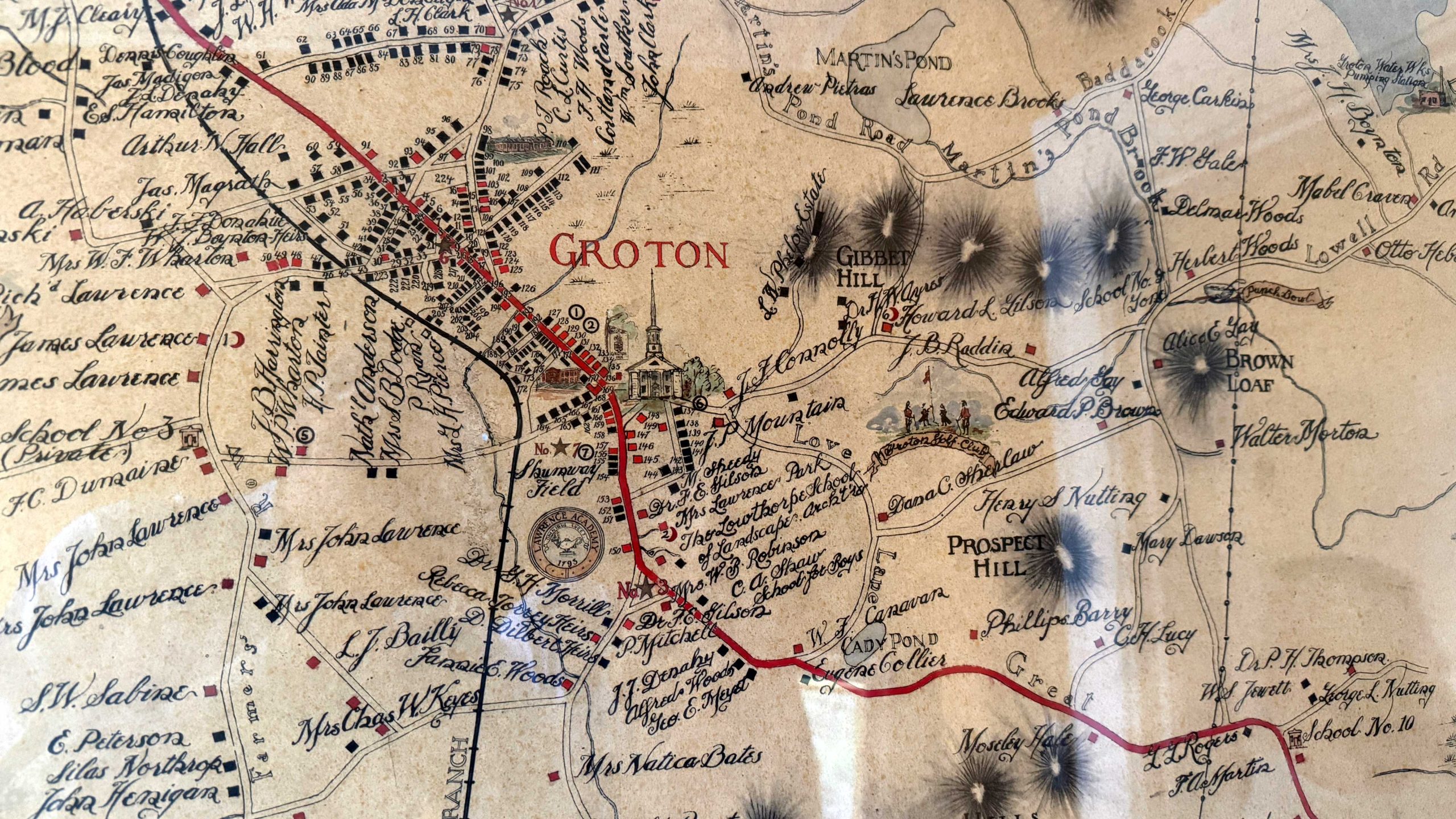
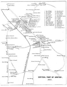
This map, drawn in 1930 by the Boston Architect Dana Somes, is a unique item that exists only at the GHS. It was created for society to mark the tercentenary of the Commonwealth (Not the town as some have suggested) and is remarkable for its artistry, inclusiveness, detail and creative labels.
Note that in the lower right corner of the map, there are some notes about inaccuracies. While there are additional examples of inaccuracy in certain places, the town and Groton History Center remain extremely proud to have this fine work of the cartographic art.